-1466.0 cfs (-1.99%) since yesterday
119.46% of Normal
•
20 Streamgauges
Total streamflow across the
Green River
was last observed at
72,084
cfs, and is expected to yield approximately
142,977
acre-ft of water today; about 119%
of normal.
Average streamflow for this time of year is
60,340 cfs,
with recent peaks last observed
on
2019-06-23 when daily discharge volume was observed at
162,130 cfs.
Maximum discharge along the river is currently at the
Green River At Lock 2 At Calhoun
reporting a streamflow rate of 20,100 cfs.
However, the streamgauge with the highest stage along the river is the
Green River Near Auburn
with a gauge stage of 57.72 ft.
This river is monitored from 20 different streamgauging stations along the Green River, the highest being situated at an altitude of 7,477 ft, the
Green River At Warren Bridge.
Last Updated
2024-05-18
Streamflow
72,084.0 cfs
Percent of Normal
119.46%
Maximum
162,130.0 cfs
2019-06-23
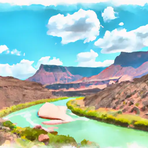
About the green river
The Green River is a 730-mile long river that flows through Wyoming, Colorado, and Utah. It is known for its beautiful canyons and unique geology. The river was first explored by John Wesley Powell in 1869 and was a major transportation route for Native Americans and settlers. The river is fed by numerous tributaries and is known for its hydroelectric power potential. There are several reservoirs and dams along the river, including Flaming Gorge Dam, which was completed in 1964 and provides irrigation water for agriculture and recreational opportunities such as boating and fishing. The Green River is also popular for whitewater rafting, hiking, and camping. The river is critical for agriculture in the region, providing water for crops such as hay, alfalfa, and wheat.