+410.0 cfs (+9.23%) since yesterday
104.45% of Normal
•
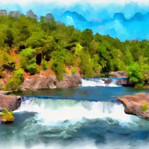
4 Streamgauges
Total streamflow across the
Falls River
was last observed at
4,850
cfs, and is expected to yield approximately
9,620
acre-ft of water today; about 104%
of normal.
Average streamflow for this time of year is
4,644 cfs,
with recent peaks last observed
on
2011-06-09 when daily discharge volume was observed at
17,100 cfs.
The Falls River is a river that runs through the northeastern part of the United States, primarily in New Hampshire. It is approximately 32 miles long and flows into the Pemigewasset River. The hydrology of the river is characterized by a steep gradient and a high volume of water flow due to its location in the White Mountains. The river is fed by several smaller tributaries and contains several reservoirs and dams, including the Rocky Gorge Reservoir and the Lower Falls Dam. These reservoirs and dams are used for hydroelectric power generation, flood control, and recreation. The river is a popular destination for fishing, kayaking, and hiking. Additionally, the surrounding land is used for agriculture, primarily dairy farming. The history of the area dates back to the Native American tribes who lived along the river and later saw the arrival of colonial settlers in the 17th century.