+1761.0 cfs (+25.43%) since yesterday
73.99% of normal
•
Low
Total streamflow across the
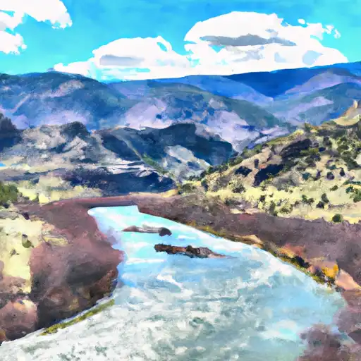
Animas River
was last observed at
8,685
cfs, and is expected to yield approximately
17,226
acre-ft of water today; about 74%
of normal.
Average streamflow for this time of year is
11,737 cfs,
with recent peaks last observed
on
2019-06-10 when daily discharge volume was observed at
40,738 cfs.
Maximum discharge along the river is currently at the
Animas River Above Tacoma
reporting a streamflow rate of 1,490 cfs.
However, the streamgauge with the highest stage along the river is the
Animas River Below Aztec
with a gauge stage of 7.43 ft.
This river is monitored from 9 different streamgauging stations along the Animas River, the highest being situated at an altitude of 9,629 ft, the
Animas River At Howardsville.
Last Updated
2024-05-18
Streamflow
8,685.0 cfs
Percent of Normal
73.99%
Maximum
40,738.0 cfs
2019-06-10
About the animas river
The Animas River is a tributary of the San Juan River, located in Colorado and New Mexico in the United States. The river stretches for approximately 126 miles, with a drainage area of around 3,100 square miles. Historically, the river was used for mining and transportation purposes. Today, the Animas River is primarily used for recreational activities such as fishing, kayaking, and river rafting. However, the river has also been subject to contamination due to mining and agricultural runoff. Specific reservoirs and dams along the Animas River include the McPhee Reservoir and the Animas-La Plata project. These dams serve purposes such as irrigation and flood control. Despite the challenges facing the Animas River, efforts are being made to protect and restore this vital natural resource.