-294.0 cfs (-16.4%) since yesterday
68.44% of normal
•
Low
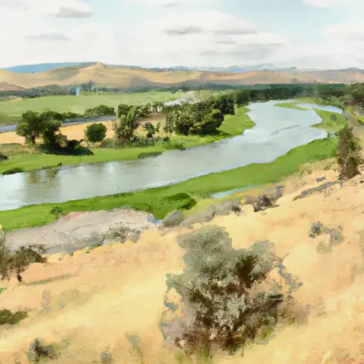
Total streamflow across the
Umatilla River
was last observed at
1,499
cfs, and is expected to yield approximately
2,973
acre-ft of water today; about 68%
of normal.
River levels are low and may signify a drought.
Average streamflow for this time of year is
2,190 cfs,
with recent peaks last observed
on
2019-04-10 when daily discharge volume was observed at
23,710 cfs.
Maximum discharge along the river is currently at the
Umatilla River Near Umatilla
reporting a streamflow rate of 600 cfs.
However, the streamgauge with the highest stage along the river is the
Umatilla R At W Reservation Bndy Nr Pendleton
with a gauge stage of 4.43 ft.
This river is monitored from 3 different streamgauging stations along the Umatilla River, the highest being situated at an altitude of 1,871 ft, the
Umatilla River Above Meacham Creek.
Last Updated
2024-05-16
Streamflow
1,499.0 cfs
Percent of Normal
68.44%
Maximum
23,710.0 cfs
2019-04-10
About the umatilla river
The Umatilla River is a tributary of the Columbia River, located in northeastern Oregon. The river was historically home to the Umatilla Native American tribe, who fished and hunted along the river. The river runs for 89 miles, beginning in the Blue Mountains and flowing through the Umatilla National Forest. The river's hydrology has been impacted by the construction of several dams, including the McKay and Wildhorse Reservoirs. These dams provide irrigation water for agriculture and hydroelectric power. The river is also used for recreational activities such as fishing, boating, and camping. The Umatilla River supports populations of Chinook salmon, steelhead, and other fish species. Agricultural uses include the growing of wheat, hay, and fruit trees.