-110.0 cfs (-9.09%) since yesterday
72.09% of normal
•
Low
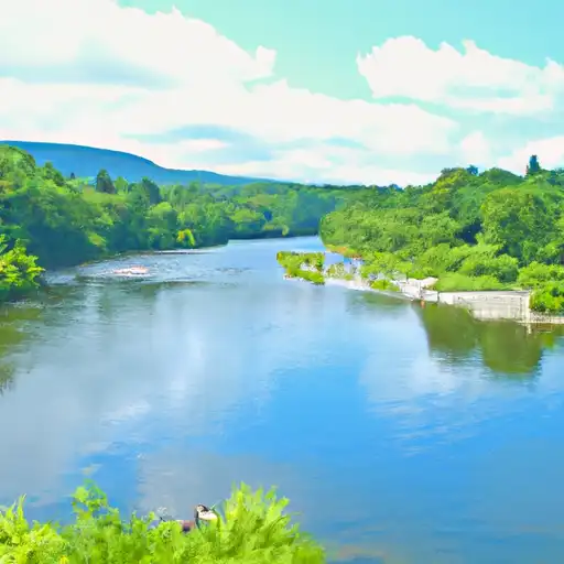
Total streamflow across the
Stillwater River
was last observed at
1,100
cfs, and is expected to yield approximately
2,182
acre-ft of water today; about 72%
of normal.
Average streamflow for this time of year is
1,526 cfs,
with recent peaks last observed
on
2018-04-04 when daily discharge volume was observed at
21,741 cfs.
Maximum discharge along the river is currently at the
Stillwater River Near Absarokee Mt
reporting a streamflow rate of 1,100 cfs.
However, the streamgauge with the highest stage along the river is the
Stillwater River Near Sterling
with a gauge stage of 4.81 ft.
This river is monitored from 4 different streamgauging stations along the Stillwater River, the highest being situated at an altitude of 3,880 ft, the
Stillwater River Near Absarokee Mt.
Last Updated
2024-05-16
Streamflow
1,100.0 cfs
Percent of Normal
72.09%
Maximum
21,741.0 cfs
2018-04-04
About the stillwater river
The Stillwater River is located in Montana and is a tributary of the Yellowstone River. The river is approximately 70 miles long and has a rich history dating back to the 1800s when it was used for transportation and irrigation. The river is fed by several small creeks and is known for its crystal-clear water. The river is home to several reservoirs including the Mystic Lake Reservoir and the East Fork Reservoir, which are used for hydroelectric power and irrigation. The river is also a popular destination for recreational activities such as fishing, kayaking, and camping. Additionally, the river is used for agricultural purposes, and many farmers rely on the river to irrigate their crops. Overall, the Stillwater River is a significant resource for the local community and plays a vital role in the economy and environment of the area.