-7.0 cfs (-0.62%) since yesterday
132.7% of Normal
•
3 Streamgauges
Total streamflow across the
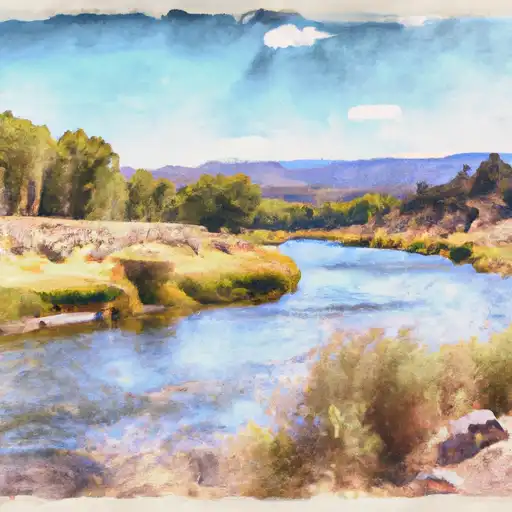
Ruby River
was last observed at
1,121
cfs, and is expected to yield approximately
2,223
acre-ft of water today; about 133%
of normal.
River levels are high.
Average streamflow for this time of year is
845 cfs,
with recent peaks last observed
on
2011-07-01 when daily discharge volume was observed at
3,719 cfs.
Maximum discharge along the river is currently at the
Ruby River Bl Reservoir Nr Alder Mt
reporting a streamflow rate of 637 cfs.
This is also the highest stage along the Ruby River, with a gauge stage of
4.37 ft at this location.
This river is monitored from 3 different streamgauging stations along the Ruby River, the highest being situated at an altitude of 5,410 ft, the
Ruby River Ab Reservoir Nr Alder Mt.
Last Updated
2024-05-16
Streamflow
1,121.0 cfs
Percent of Normal
132.7%
Maximum
3,719.0 cfs
2011-07-01
About the ruby river
The Ruby River is a tributary of the Jefferson River, which eventually flows into the Missouri River. It is around 76 miles long and is located in southwestern Montana. The river was named after the garnets found in the area, which are a deep red color, like the precious stone. The river has a substantial flow and is used for irrigation of crops and pastures, as well as for recreational activities such as fishing, rafting, and kayaking. There are several reservoirs and dams along the river, including Ruby Reservoir, which was built in the 1930s to provide irrigation water for local farmers. The river has a rich history, as it was once home to Native American tribes and was an important site for fur trading in the 1800s.