-36.9 cfs (-30.25%) since yesterday
8.98% of normal
•
Very Low
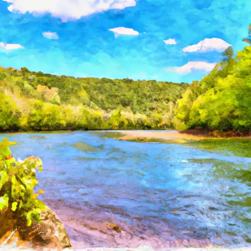
Total streamflow across the
Purgatoire River
was last observed at
85
cfs, and is expected to yield approximately
169
acre-ft of water today; about 9%
of normal.
River levels are low and may signify a drought.
Average streamflow for this time of year is
948 cfs,
with recent peaks last observed
on
2017-05-13 when daily discharge volume was observed at
11,568 cfs.
Maximum discharge along the river is currently at the
Purgatoire River At Madrid
reporting a streamflow rate of 85.1 cfs.
However, the streamgauge with the highest stage along the river is the
Purgatoire River At Rock Crossing Nr Timpas
with a gauge stage of 6.48 ft.
This river is monitored from 7 different streamgauging stations along the Purgatoire River, the highest being situated at an altitude of 6,265 ft, the
Purgatoire River At Madrid.
Last Updated
2024-05-16
Streamflow
85.1 cfs
Percent of Normal
8.98%
Maximum
11,568.0 cfs
2017-05-13
About the purgatoire river
The Purgatoire River, also known as the Purgatory River, is a 200-mile-long tributary of the Arkansas River in southern Colorado and western Kansas. The river has a rich history dating back to the ancient Puebloan people who lived in the area. The river is known for its unique geology and hydrology, including the famous Picketwire Canyonlands, where dinosaur tracks can be seen. The river's flow is regulated by several reservoirs and dams, including the Purgatoire River Diversion Dam and the Valdez Reservoir. The river is used for agricultural purposes, including irrigation, and is a popular destination for recreational activities such as fishing, kayaking, and camping. The Purgatoire River is an important natural resource in the region, providing water for wildlife and people alike.