-275.0 cfs (-1.43%) since yesterday
88.91% of Normal
•
8 Streamgauges
Total streamflow across the
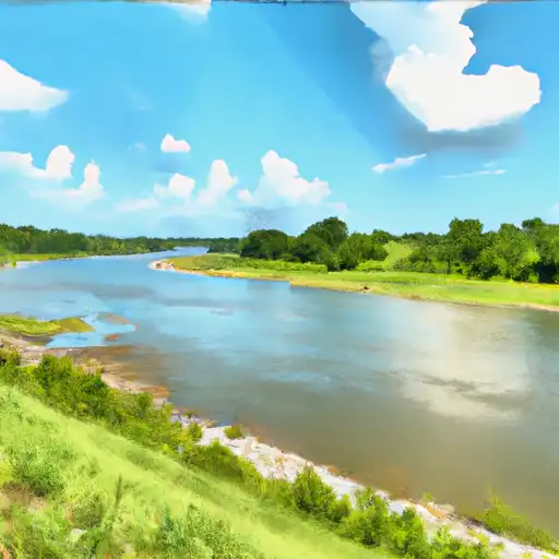
Kaskaskia River
was last observed at
19,012
cfs, and is expected to yield approximately
37,710
acre-ft of water today; about 89%
of normal.
Average streamflow for this time of year is
21,384 cfs,
with recent peaks last observed
on
2015-12-30 when daily discharge volume was observed at
129,500 cfs.
Maximum discharge along the river is currently at the
Kaskaskia River At New Athens
reporting a streamflow rate of 5,580 cfs.
This is also the highest stage along the Kaskaskia River, with a gauge stage of
74.5 ft at this location.
This river is monitored from 8 different streamgauging stations along the Kaskaskia River, the highest being situated at an altitude of 650 ft, the
Kaskaskia River At Chesterville.
Last Updated
2024-05-16
Streamflow
19,012.0 cfs
Percent of Normal
88.91%
Maximum
129,500.0 cfs
2015-12-30
About the kaskaskia river
The Kaskaskia River flows for a length of 325 miles through central and southern Illinois before joining the Mississippi River. The river is known for its role in early French exploration and settlement in the area. It has a drainage area of 5,746 square miles and is heavily utilized for agricultural purposes. The Kaskaskia River is also home to several reservoirs and dams, including Carlyle Lake, which is the largest man-made lake in Illinois with a surface area of 26,000 acres. The lake is utilized for recreational activities such as boating, fishing, and camping. The river also provides water for municipal, industrial, and agricultural use. The Kaskaskia River has played a significant role in the history and development of Illinois and remains an important natural resource for the state.