-1750.0 cfs (-3.01%) since yesterday
73.89% of normal
•
Low
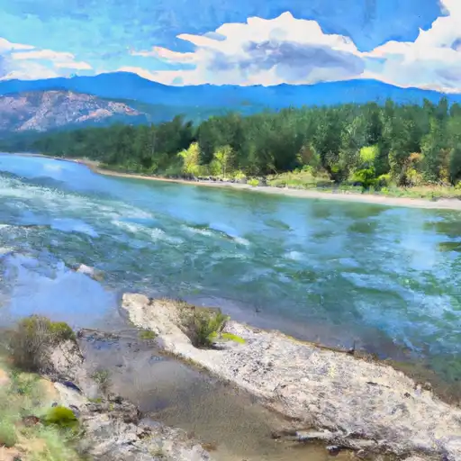
Total streamflow across the
Flathead River
was last observed at
56,420
cfs, and is expected to yield approximately
111,908
acre-ft of water today; about 74%
of normal.
Average streamflow for this time of year is
76,356 cfs,
with recent peaks last observed
on
2012-06-27 when daily discharge volume was observed at
165,650 cfs.
Maximum discharge along the river is currently at the
Flathead River At Columbia Falls Mt
reporting a streamflow rate of 26,200 cfs.
However, the streamgauge with the highest stage along the river is the
Flathead River At Perma Mt
with a gauge stage of 10.69 ft.
This river is monitored from 4 different streamgauging stations along the Flathead River, the highest being situated at an altitude of 3,983 ft, the
Flathead River At Flathead British Columbia.
Last Updated
2024-05-16
Streamflow
56,420.0 cfs
Percent of Normal
73.89%
Maximum
165,650.0 cfs
2012-06-27
About the flathead river
The Flathead River is a 158-mile-long river located in western Montana, USA. The river has a rich history, having been inhabited by Native American tribes for centuries. It was also a major transportation route for fur traders in the 1800s. The river's hydrology is largely influenced by the surrounding mountains and glaciers, resulting in a steady flow of cold, clean water. The river is home to several reservoirs and dams, including the Kerr Dam and Hungry Horse Dam, which provide hydroelectric power and irrigation water for nearby agricultural communities. Recreational activities such as fishing, hiking, and rafting are popular along the river, which is known for its scenic beauty and abundant wildlife.