+161.0 cfs (+3.11%) since yesterday
64.88% of normal
•
Low
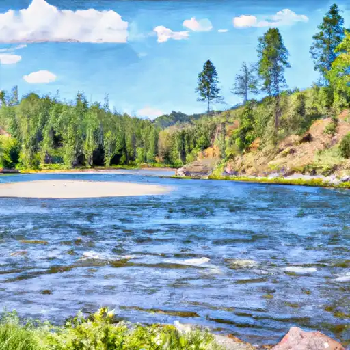
Total streamflow across the
Blackfoot River
was last observed at
5,331
cfs, and is expected to yield approximately
10,574
acre-ft of water today; about 65%
of normal.
River levels are low and may signify a drought.
Average streamflow for this time of year is
8,217 cfs,
with recent peaks last observed
on
2011-06-10 when daily discharge volume was observed at
23,497 cfs.
Maximum discharge along the river is currently at the
Blackfoot River Near Bonner Mt
reporting a streamflow rate of 2,780 cfs.
However, the streamgauge with the highest stage along the river is the
Blackfoot River Bypass Nr Blackfoot Id
with a gauge stage of 10.8 ft.
This river is monitored from 7 different streamgauging stations along the Blackfoot River, the highest being situated at an altitude of 6,266 ft, the
Blackfoot River Ab Reservoir Nr Henry Id.
Last Updated
2024-05-16
Streamflow
5,331.0 cfs
Percent of Normal
64.88%
Maximum
23,497.0 cfs
2011-06-10
About the blackfoot river
The Blackfoot River, located in western Montana, is a 137-mile long river that has played a significant role in the history of the region. The river was named after the Blackfoot Nation, a group of indigenous people who once inhabited the area. The Blackfoot River is a tributary of the Clark Fork River, which eventually flows into the Columbia River.
The river is fed by snowmelt and has a peak flow in late May and early June. The river's hydrology is influenced by two major dams, the Thompson Falls Dam and the Noxon Rapids Dam, which create reservoirs that provide hydroelectric power to the region.
The Blackfoot River is a popular recreational destination, known for its trout fishing and scenic beauty. The river was made famous by the book and movie "A River Runs Through It". The surrounding land is also used for agriculture, primarily for ranching and hay production. The river and its surrounding area have been protected by federal and state agencies, including the creation of the Blackfoot-Clearwater Wildlife Management Area.