
WELCOME
Snoflo is the ultimate platform for outdoor enthusiasts and climate-conscious individuals. We offer climate data, weather forecasts, and the best recreation spots nearby. Explore more, impact less with Snoflo. Learn More.
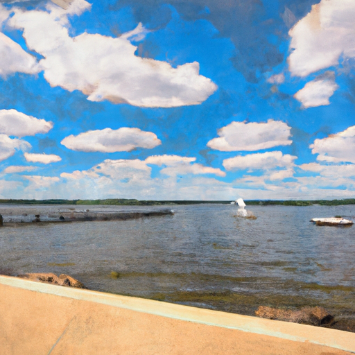


LAKE MENDOTA AT MADISON
Reservoir Levels • Weather • Hydrology
Lake Mendota is a glacial lake located in Madison, Wisconsin with a surface area of 9,842 acres. The lake is over 450ft deep and is a popular location for fishing, ice skating, and water sports. The lake's hydrology is heavily influenced by precipitation, snowpack, and surface run-off from the surrounding land, which is primarily agricultural. The Yahara River is the primary surface flow provider and is responsible for over 90% of the water entering the lake. The lake has a rich history, with Native American tribes inhabiting the area for thousands of years before European settlement. In the early 20th century, the lake was heavily polluted, but efforts to reduce agricultural runoff and sewage have improved its water quality. Lake Mendota remains an important resource for fishing, recreation, and research in Wisconsin.
May 16, 2024
°
°
mph
Windspeed
%
Humidity
Explore the Interactive Map
View recreational hotspots like fishing, camping, and parks, alongside climate-related data such as river levels, snowpack, and weather forecasts. Enjoy 3D mapping for an immersive experience, and switch to satellite view for a detailed look at your favorite spots. Simply click, explore, and discover nature like never before!

You Might Like
Explore Nearby Places

Unfortunately, as an AI language model, I am unable to browse the internet and do not have access to external information. However, there is no record of a Roland Olson Forest Preserve in the state of Tennessee. It is possible that the name is incorrect or misspelled. Can you please provide me with more information or clarify the details?