
WELCOME
Snoflo is the ultimate platform for outdoor enthusiasts and climate-conscious individuals. We offer climate data, weather forecasts, and the best recreation spots nearby. Explore more, impact less with Snoflo. Learn More.
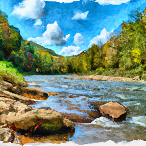


MIDDLE FORK BRUSH CREEK AT EDISON
Reservoir Levels • Weather • Hydrology
Middle Fork Brush Creek is a tributary of the West Fork River, located in the Appalachian Mountains of West Virginia. The area has a rich history of coal mining and logging, with evidence of human settlement dating back over 10,000 years. The hydrology of Middle Fork Brush Creek is influenced by both surface water flow and snowpack, with the West Fork River watershed providing a significant source of water. The area is used for agricultural purposes, including grazing and hay production, as well as recreational activities such as fishing, camping, and hiking. The stream is also a popular spot for kayaking and canoeing, with its rapids and scenic views attracting adventure seekers from around the region. Despite its natural beauty, Middle Fork Brush Creek is also under threat from pollution and environmental degradation, highlighting the need for conservation efforts to protect this valuable resource.
May 16, 2024
°
°
mph
Windspeed
%
Humidity
Explore the Interactive Map
View recreational hotspots like fishing, camping, and parks, alongside climate-related data such as river levels, snowpack, and weather forecasts. Enjoy 3D mapping for an immersive experience, and switch to satellite view for a detailed look at your favorite spots. Simply click, explore, and discover nature like never before!

Fishing Areas
You Might Like
Explore Nearby Places

Daniel Boone Park is a popular tourist destination located in the state of West Virginia. The park is named after the legendary American frontiersman Daniel Boone, who spent a considerable amount of time exploring and settling in the area. One of the main reasons to visit Daniel Boone Park is to explore the great outdoors. The park offers numerous opportunities for hiking, camping, fishing, and wildlife watching. Visitors can also explore the park's historical and cultural attractions, such as the Daniel Boone Homestead and the Boone Heritage Museum. Some of the specific points of interest in the park include the ...