WELCOME
Snoflo is the ultimate platform for outdoor enthusiasts and climate-conscious individuals. We offer climate data, weather forecasts, and the best recreation spots nearby. Explore more, impact less with Snoflo. Learn More.
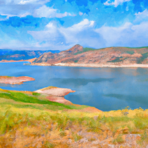


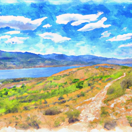
UPPER STILLWATER RESERVOIR
Reservoir Levels • Weather • Hydrology
Upper Stillwater Reservoir is a man-made lake located in the Uinta Mountains of northeastern Utah. The reservoir was created in the 1980s to store water for irrigation, municipal, and industrial purposes. The reservoir is fed by snowmelt from the surrounding mountains and by surface flows from local creeks and streams. It has a capacity of 18,500 acre-feet and a surface area of approximately 600 acres. The primary users of water from the reservoir are agricultural producers and municipalities in the area. The reservoir also provides opportunities for recreational activities, such as fishing and boating, and serves as a popular destination for outdoor enthusiasts. The reservoir is managed by the Upper Stillwater Dam and Canal Company, which oversees the operation and maintenance of the dam and associated infrastructure.
May 16, 2024
°
°
mph
Windspeed
%
Humidity
Explore the Interactive Map
View recreational hotspots like fishing, camping, and parks, alongside climate-related data such as river levels, snowpack, and weather forecasts. Enjoy 3D mapping for an immersive experience, and switch to satellite view for a detailed look at your favorite spots. Simply click, explore, and discover nature like never before!