
WELCOME
Snoflo is the ultimate platform for outdoor enthusiasts and climate-conscious individuals. We offer climate data, weather forecasts, and the best recreation spots nearby. Explore more, impact less with Snoflo. Learn More.


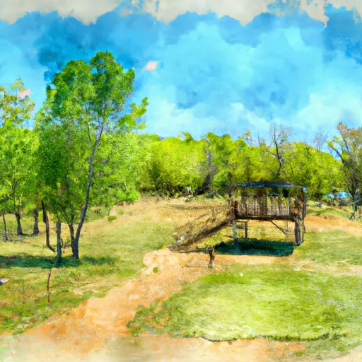
Lk Mexia nr Mexia
Reservoir Levels • Weather • Hydrology
Located in Texas, Lake Mexia NR Mexia is a small reservoir built in 1963 by the United States Army Corps of Engineers. The lake's primary purpose is to provide flood control to the surrounding areas, but it also provides recreational opportunities such as fishing, boating, and camping. The hydrology of the lake is fed by two major creeks, Tehuacana Creek and Willow Creek, and several smaller tributaries. The lake's surface flow is mainly used for irrigation of agricultural lands, with cotton being the primary crop. The area also receives snowpack from time to time, which helps to replenish the lake's water levels. The lake has a maximum depth of 40 feet and covers approximately 1,140 acres.
May 16, 2024
°
°
mph
Windspeed
%
Humidity
Explore the Interactive Map
View recreational hotspots like fishing, camping, and parks, alongside climate-related data such as river levels, snowpack, and weather forecasts. Enjoy 3D mapping for an immersive experience, and switch to satellite view for a detailed look at your favorite spots. Simply click, explore, and discover nature like never before!

Fishing Areas
You Might Like
Explore Nearby Places
Boggy Depot State Park is located in the state of Oklahoma and is a popular destination for visitors looking for a peaceful retreat in nature. The park is home to a variety of recreational activities, including hiking, fishing, and camping, making it a perfect place to spend a weekend or an extended vacation. One of the main attractions of the park is its historical significance. The park was once a thriving town during the Civil War and was a vital supply depot for Confederate troops. Visitors can explore the historic sites of the town, including the old cemetery, the famous ...