
WELCOME
Snoflo is the ultimate platform for outdoor enthusiasts and climate-conscious individuals. We offer climate data, weather forecasts, and the best recreation spots nearby. Explore more, impact less with Snoflo. Learn More.
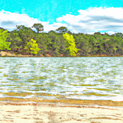


Lk Bob Sandlin nr Mount Pleasant
Reservoir Levels • Weather • Hydrology
Lake Bob Sandlin is a 9,400-acre reservoir located in northeastern Texas near Mount Pleasant. The lake was created in 1979 by the construction of a dam on the Cypress Creek, a tributary of the Sabine River. The lake is primarily used for recreational purposes, such as fishing, boating, and camping. The hydrology of the lake is maintained by the Sabine River Authority, which manages the lake’s water level and quality. The lake receives its water from the Cypress Creek watershed, as well as from surface runoff and precipitation. There are several surface flow and snowpack providers that contribute to the lake’s water supply, including the Cypress Creek, Big Creek, and Little Cypress Creek watersheds. The lake also supports local agriculture, including livestock grazing and crop production. Overall, Lake Bob Sandlin is an important natural resource for the surrounding communities and provides a variety of benefits for both residents and visitors.
May 16, 2024
°
°
mph
Windspeed
%
Humidity
Explore the Interactive Map
View recreational hotspots like fishing, camping, and parks, alongside climate-related data such as river levels, snowpack, and weather forecasts. Enjoy 3D mapping for an immersive experience, and switch to satellite view for a detailed look at your favorite spots. Simply click, explore, and discover nature like never before!

You Might Like
Explore Nearby Places

Will Rogers State Park, located in the state of Oklahoma, is a beautiful and historic destination that offers a range of attractions and activities for visitors to enjoy. Here is a summary of the park, including reasons to visit, points of interest, interesting facts, and the best time of year to plan a visit. Reasons to Visit: 1. Historical Significance: Will Rogers State Park is the birthplace and childhood home of legendary American humorist and actor, Will Rogers. It offers a unique opportunity to explore his life and legacy. 2. Natural Beauty: The park boasts stunning landscapes with rolling hills, ...